
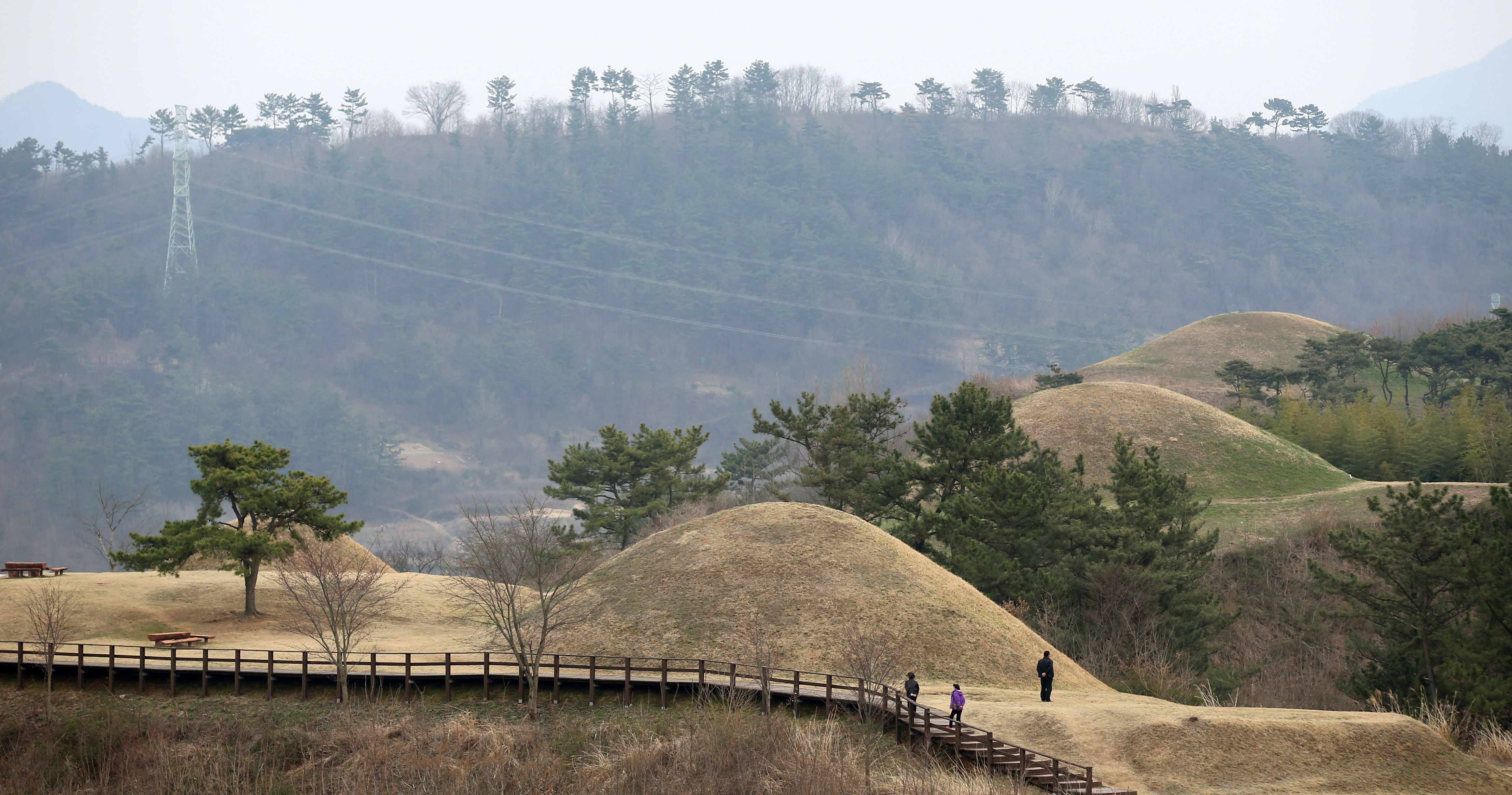
Grassy mounds along a ridge
On the hills of Malisan in Haman, South Gyeongsang Province, round burial mounds rise along the ridgeline. Seen from a distance, they look like gentle hills, yet they preserve evidence of the ancient Ara Gaya polity. Notice the mounds' placement, their relationship to the terrain and the present-day settlement beyond them.
Why place so many tombs on high ground?
UNESCO explains that elite burials in the Gaya Tumuli were built over long periods on elevated terrain near the centres of individual polities. Stone-lined chambers and excavated pottery, weapons and traded objects offer evidence of technology, social organisation and exchange. These are characteristics of the seven-site property as a whole; they do not mean that every object was discovered in every mound at Malisan.
More than one Gaya polity
The Gaya Tumuli joined the UNESCO World Heritage List in 2023 as a serial property of seven cemetery groups, including the Malisan Tumuli of Haman. Dating broadly from the first through the sixth centuries CE, they illuminate a Gaya world where distinct political communities shared cultural features without forming one fully centralised kingdom. Malisan is associated with the Ara Gaya tradition.
Read the landscape, not only the monuments
As you follow an allowed path, observe the position of the mounds along the ridge and the terrain around them. Do not conclude the exact age or political rank of a tomb from its size alone; consult on-site interpretation and archaeological research. Conservation work can change visitor access.
Before visiting
The Korean national heritage portal records the site around 484 Dohang-ri, Gaya-eup, Haman-gun. This is a heritage-location reference, not a verified visitor entrance or car-park address. Confirm current access routes, exhibitions, guided interpretation, opening hours and any fees with the relevant site operator. Stay on designated trails and do not climb protected mounds.